Plein Air Québec
Thousands of outdoor places and activities across Quebec.
ZONE 01Explore
ZONE 02Categories
Access your favorites, share your photos and more.

 Waze
MontérégieBeauharnois· County Beauharnois-Salaberry
📍 Beauharnois, Québec, 00000
Rural Trail between Beauharnois and Sainte-Martine
This rural trail offers a beautiful hike through picturesque landscapes of Montérégie, connecting the charming towns of Beauharnois and Sainte-Martine. Hikers can enjoy the surrounding nature while exploring well-maintained paths.
- CapacityNot stated
- BedroomsNot stated
- BathroomsNot stated
- PetsNot stated
- ParkingNot stated
- WifiNot stated
- Water accessNot stated
- Forest accessTrails on site
Why go
Discover a charming route between Beauharnois and Sainte-Martine, just a few kilometers from Montreal. This trail immerses you in nature while remaining close to the city.
What to do
Enjoy a bike ride along the picturesque paths winding through the countryside. The varied landscapes will amaze you with their lush fields and views of the rivers. Take time to stop and admire the local wildlife, as you might catch a glimpse of birds and other wildlife. For a more immersive experience, bring your paddleboard and explore the nearby rivers on a water outing. Don't forget to pack a picnic to enjoy a meal outdoors in a peaceful setting.
Nearby
You will find many green spaces ideal for a picnic or simply to relax after your adventure. These peaceful spots will allow you to fully enjoy the surrounding nature.
Getting there
From Montreal, it will take you about 45 minutes by car to reach this route. Public transport may also be an option, but check the schedules.
Practical information
Weather — next 7 days
Things to do nearby
What there is to do around, lodging aside.


Owner-listed places
Discover more in Montérégie
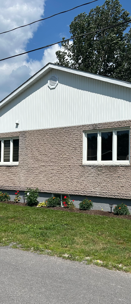
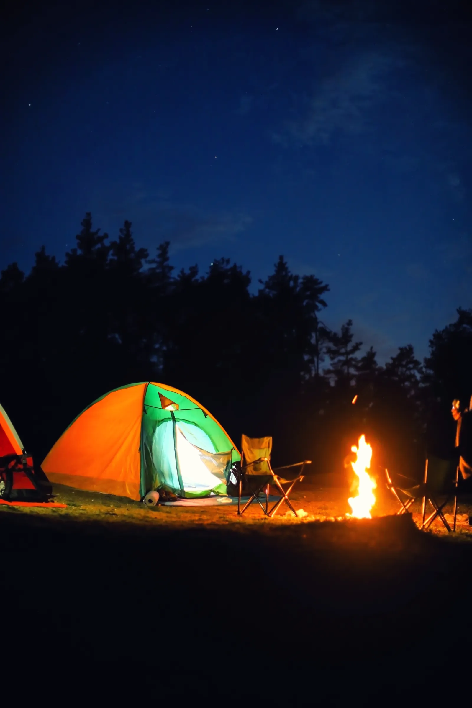 Unofficial photoUnofficial photo
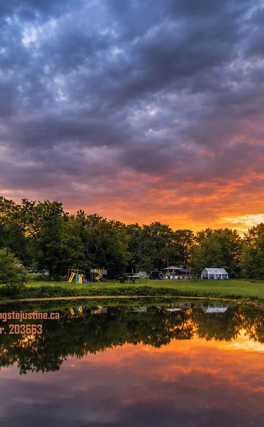 Unofficial photo
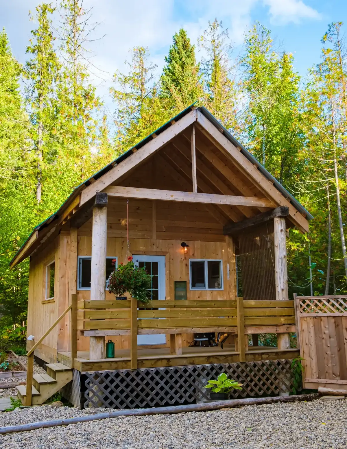 Unofficial photo
Cycling nearby
Maps, elevation and free GPX files for the bike paths in Montérégie on CycloQuébec.
Gear ideas for your stay
Our picks to enjoy the water — real Amazon photos and prices.

Hiking shoes

Hiking backpack

Trekking poles
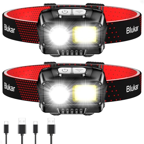
Headlamp

Water bottle / bladder
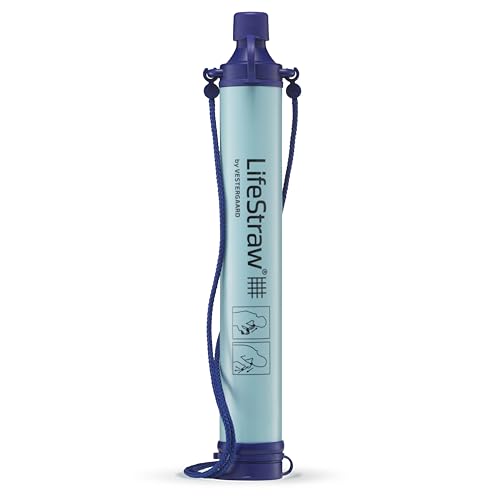
Water filter

Rain shell

First-aid kit
Amazon affiliate links — at no extra cost to you. Price at time of display.
See the full shop →📸 Been to this spot? Tell us about it and share your photos with the community.
Want us to visit and write about your place?