Access your favorites, share your photos and more.
 Waze
WazeAdd your photos or videos
Know this spot? Share your real photos: credited to you, in your personal gallery. The best ones replace the listing image.
🎥 Your videos come straight from your social networks (TikTok, Instagram, YouTube, Facebook): they stay linked to your account and point back to your channel — more exposure for you, and a livelier listing.
🌦️ 7-day forecast
Why go
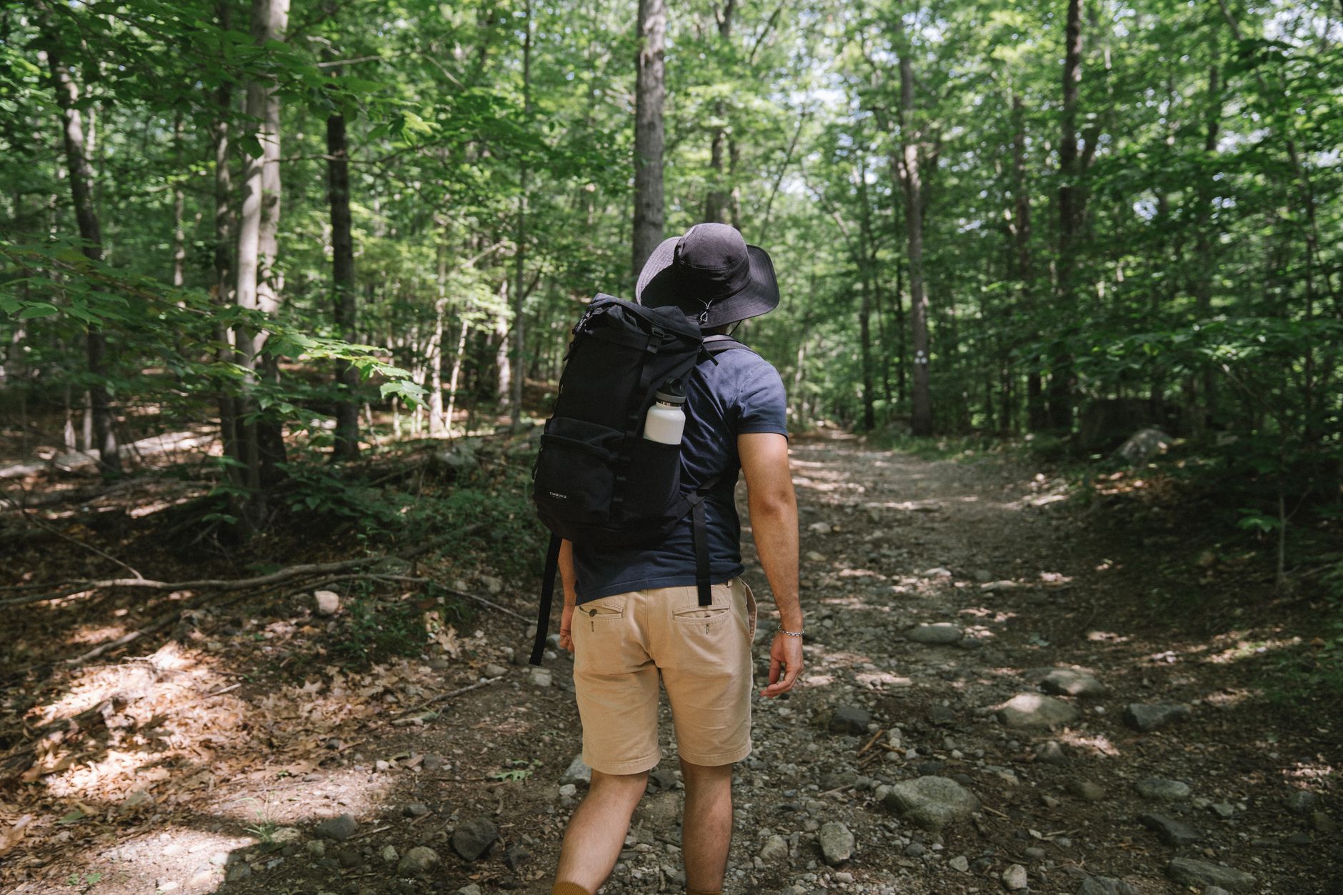
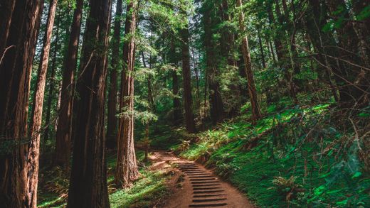
Just a few hours from Montreal, Harold F. Baldwin Park offers a perfect nature escape for hiking enthusiasts. Discover breathtaking landscapes and well-maintained trails that will lead you to the summit of Mount Pinacle.
What to do
- Hiking: Explore varied trails and enjoy breathtaking panoramic views. The intermediate trails will challenge you while allowing you to appreciate the surrounding natural beauty.
- Wildlife watching: Keep an eye out for wildlife in their natural habitat, such as birds and small mammals.
- Photography: Don't forget your camera to capture the stunning landscapes and beautiful panoramas you'll encounter along the way.
Nearby
After your hike, relax in a quiet spot for a picnic or simply enjoy the tranquility of the surrounding nature.
Getting there
From Montreal, expect about a 1.5-hour drive to reach the park. It's a perfect getaway for a day trip.
Good to know
Wear appropriate hiking shoes and check the weather before heading out. Bring water and snacks to recharge during your adventure.
At a glance
Information
Characteristics
The stay
Practical info
Regional park — hiking.
Leisure & amenities
Services and activities
Land activities
- Hiking
Food & dining
- Picnic area
Services
- Chiens (en laisse) admis
Source: SIT Québec (Tourinsoft) — open data CC-BY 4.0.
Hiking
Hiking trails nearby
- 2.1 km· Intermediate
- 1.3 km
Trails located nearby — data © OpenStreetMap contributors (ODbL). Distances computed from OSM tracks; verify on site.
Community reviews
Be the first to review this spot!
🥾 Hiked here? Rate this trail, set the difficulty and share your photos.
Want us to feature your place?
Invite the Plein Air Québec team to discover your establishment, lodging or activity.
We can travel to your location to live the experience, take photos and videos and create an authentic feature, published across the entire Plein Air Québec Network: websites and social media.
Fill out this form to help us better understand your proposal.
Data source: Données Québec — SIT Québec (CC-BY 4.0) · CC BY 4.0 (data modified and enriched)
Explore more
Discover more in Estrie

 Unofficial photo
 Unofficial photo
 Unofficial photo