Access your favorites, share your photos and more.
 Waze
WazeAdd your photos or videos
Know this spot? Share your real photos: credited to you, in your personal gallery. The best ones replace the listing image.
🎥 Your videos come straight from your social networks (TikTok, Instagram, YouTube, Facebook): they stay linked to your account and point back to your channel — more exposure for you, and a livelier listing.
🌦️ 7-day forecast
Why go
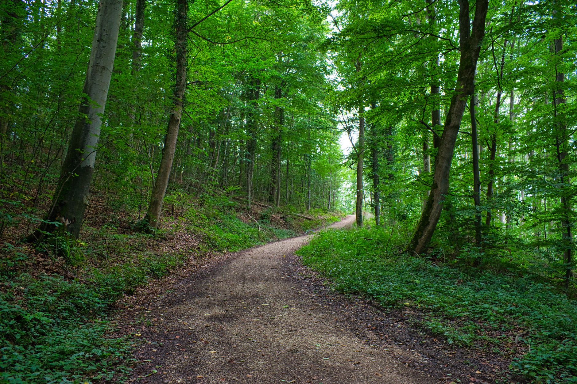
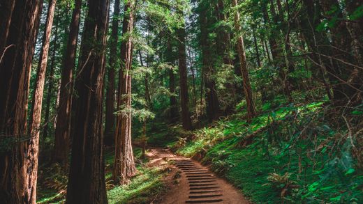
Discover Parc des Sommets, a true gem of nature just a stone's throw from the city. Perfect for outdoor enthusiasts, this park offers a much-needed respite from urban hustle and bustle.
What to do
Embark on a hiking adventure on the numerous trails winding through breathtaking landscapes. For the more adventurous, try canicross or fat biking for an exhilarating experience. In winter, the park transforms into a playground for cross-country skiing and snowshoeing, allowing you to explore nature in a new light.
Nearby
Enjoy a moment of relaxation by picnicking in designated areas or simply unwinding along a peaceful trail. The park's natural beauty invites you to contemplate.
Getting there
Located about an hour's drive from the nearest city, Parc des Sommets is easily accessible for a day trip.
Good to know
Don't forget to bring drinking water and snacks for your adventure. Also, check the weather conditions before heading out and ensure you have gear suitable for the season.
At a glance
Information
Characteristics
The stay
Practical info
Regional park — canicross, running, horseback riding, fatbiking, hiking.
Leisure & amenities
Services and activities
Land activities
- Canicross
- Course à pied
- Horseback riding
- Fatbiking
- Hiking
- Snowshoeing
- Cross-country skiing
- Ski joëring
- Cycling
- Mountain biking
Recreation & discovery
- Guided tour
Facilities
- Belvédère / tour d'observation
- Interpretation panels
- Service pavilion
- Salle de réunion / réception
- Walking trail
- Terrasse
- Restrooms
- Eau potable
- Électricité
- Ice
- Guide accompagnateur
- Wi-Fi
Food & dining
- Picnic area
- Permis d'alcool
Services
- Accès signalisé (panneaux bleus)
- Borne de recharge électrique
- Chiens (en laisse) admis
- Support à vélos
- Horaire particulier sur demande
- Tarif de groupe
- Visite guidée en anglais
- Visite guidée en d'autres langues
- Visite guidée en français
Accessibility
- Accessible
- Adapted activities & equipment
Source: SIT Québec (Tourinsoft) — open data CC-BY 4.0.
Hiking
Hiking trails nearby
- 6.5 km
- 0.7 km
- 4.3 km
- 0.6 km
- 1 km
Trails located nearby — data © OpenStreetMap contributors (ODbL). Distances computed from OSM tracks; verify on site.
Community reviews
Be the first to review this spot!
🥾 Hiked here? Rate this trail, set the difficulty and share your photos.
Want us to feature your place?
Invite the Plein Air Québec team to discover your establishment, lodging or activity.
We can travel to your location to live the experience, take photos and videos and create an authentic feature, published across the entire Plein Air Québec Network: websites and social media.
Fill out this form to help us better understand your proposal.
Data source: Données Québec — SIT Québec (CC-BY 4.0) · CC BY 4.0 (data modified and enriched)
Explore more
Discover more in Estrie

 Unofficial photo
 Unofficial photo
 Unofficial photo