Plein Air Québec
Thousands of outdoor places and activities across Quebec.
ZONE 01Explore
ZONE 02Categories
Access your favorites, share your photos and more.


 Waze
EstrieSutton· County Brome-Missisquoi
📍 Chemin de Mont Sutton Heights, Sutton, Québec, J0E 2K0
From Mont Sutton to Yamaska National Park
The Yamaska River provides an enchanting route between Mont Sutton and Yamaska National Park. The varied landscapes, featuring lush hills and dense forests, make it an ideal spot for intermediate paddlers seeking an immersive nature experience.
- CapacityNot stated
- BedroomsNot stated
- BathroomsNot stated
- PetsNot stated
- ParkingNot stated
- WifiNot stated
- Water accessNot stated
- Forest accessTrails on site
Why go
Escape for a weekend and discover the beauty of the landscapes between Mont Sutton and Yamaska National Park. Just a few hours from Montreal, this spot is perfect for outdoor enthusiasts seeking adventure.
What to do
- Hiking: Explore the scenic trails of Yamaska National Park. The views provided by the surrounding nature are breathtaking.
- Biking: Ride the roads and bike paths that weave through the lush landscapes, a true delight for cyclists of all levels.
- Wildlife Watching: Keep an eye out for birds and other animals that inhabit this region rich in biodiversity.
Nearby
After a day of activities, enjoy a picnic by the river or relax in one of the many nearby green spaces.
Getting there
From Montreal, expect about 1.5 hours by car to reach this beautiful area.
Good to know
Be sure to check the weather conditions before you go and bring plenty of water and snacks. The trails can vary, so good gear is recommended.
Practical information
Weather — next 7 days
Things to do nearby
What there is to do around, lodging aside.
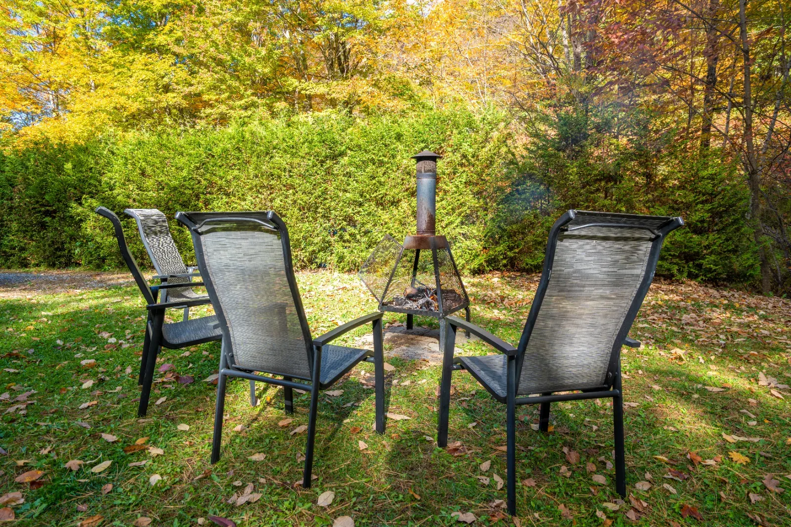 ✓ OwnerChalet AgapêAustin
 ✓ OwnerAbbey Circuit - Long-Distance Walking TrailSaint-Benoît-du-Lac
 ✓ OwnerLieu d'accueil et de renseignements touristiques de MemphrémagogMagog
 ✓ OwnerMont Hereford / Trail NetworkEast Hereford
 Sutton Outdoor / FatbikeSutton
 Plein air Sutton - MTB / Cross-Country Ski CenterSutton
 The Zip Lines of Mont SUTTONSutton
 Mont SUTTONSutton
Owner-listed places
Discover more in Estrie
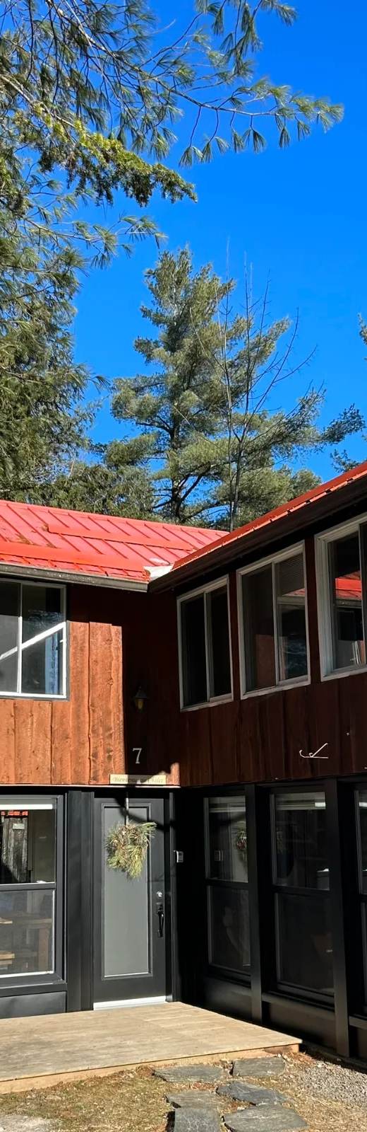
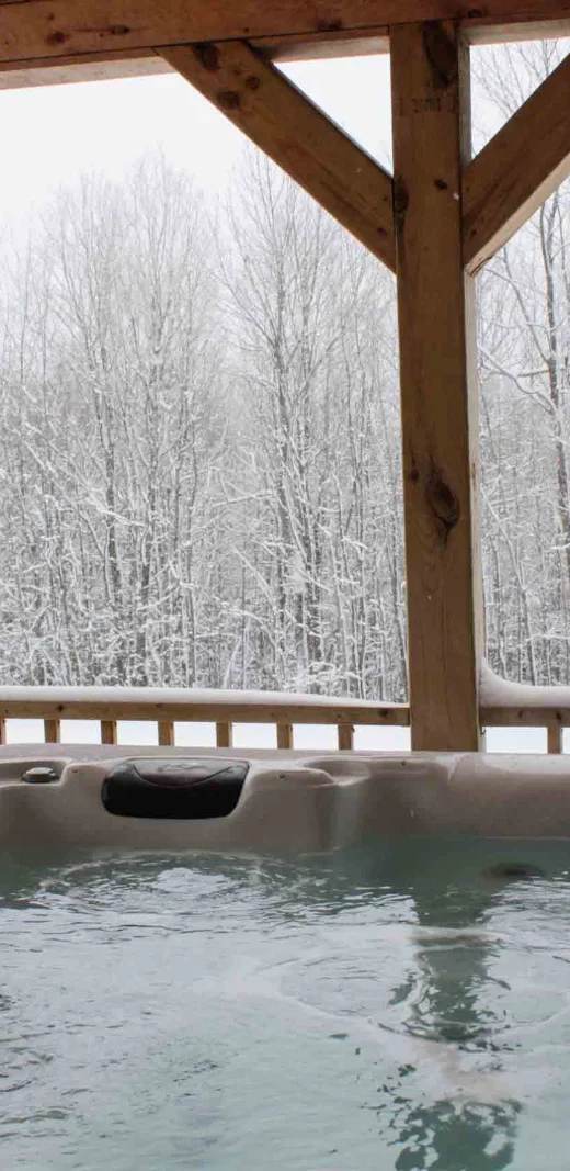
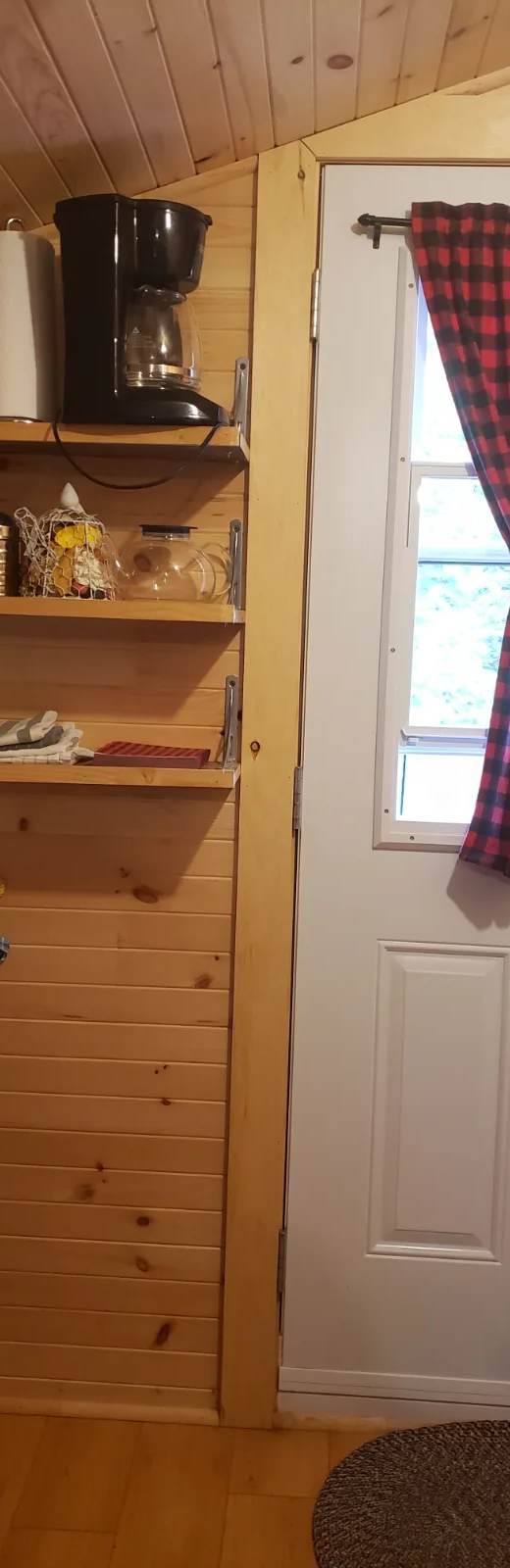

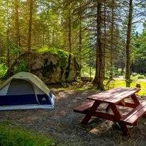
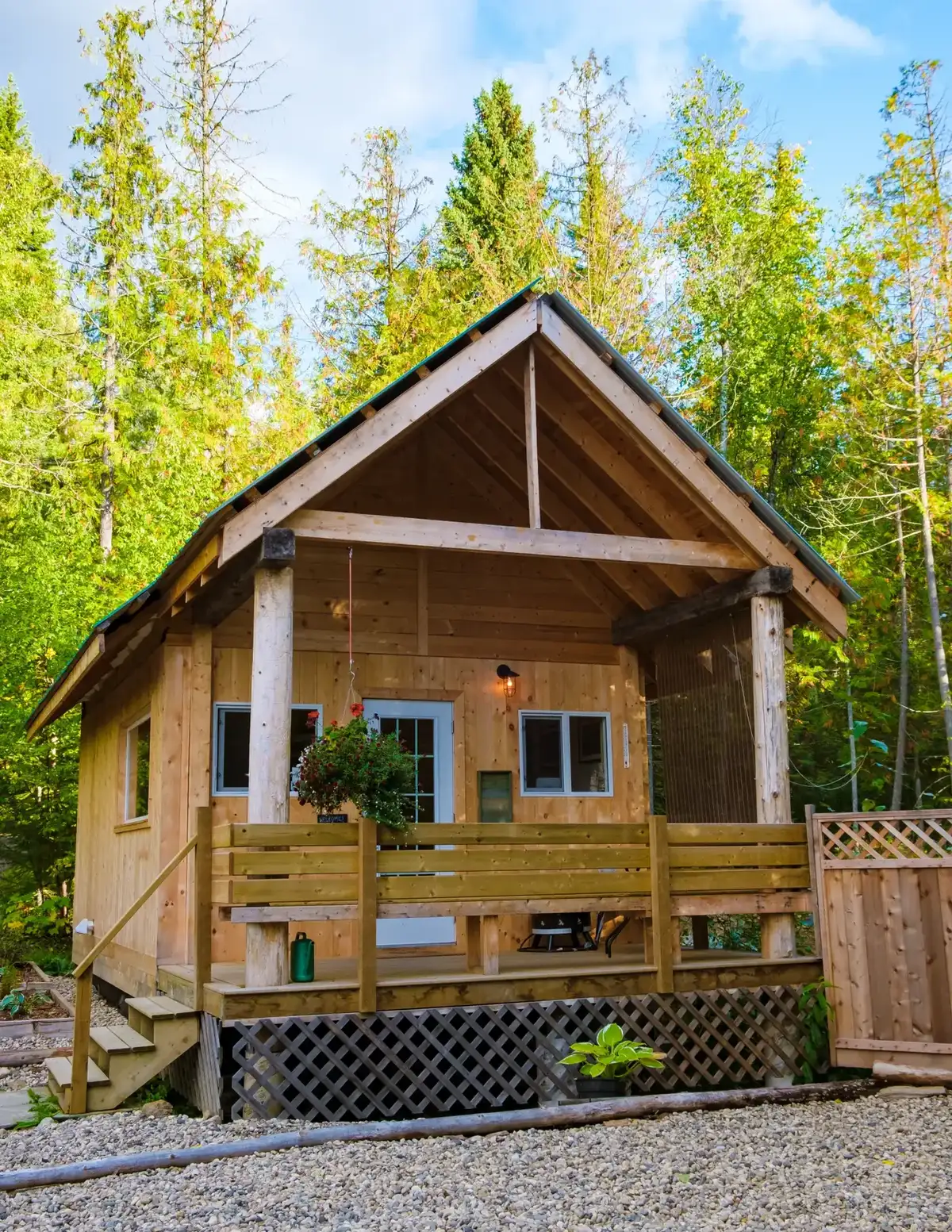 Unofficial photo
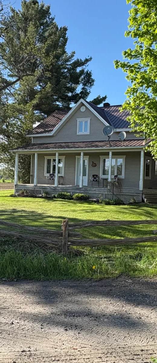

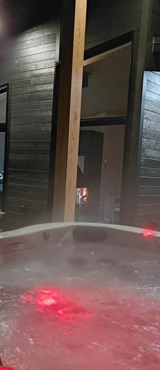
 Unofficial photo
Cycling nearby
Maps, elevation and free GPX files for the bike paths in Estrie on CycloQuébec.
Gear ideas for your stay
Our picks to enjoy the water — real Amazon photos and prices.

Hiking shoes

Hiking backpack

Trekking poles
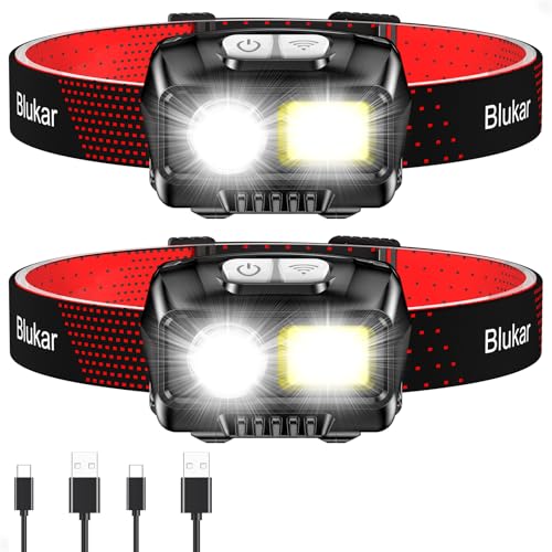
Headlamp

Water bottle / bladder

Water filter

Rain shell

First-aid kit
Amazon affiliate links — at no extra cost to you. Price at time of display.
See the full shop →📸 Been to this spot? Tell us about it and share your photos with the community.
Want us to visit and write about your place?