Plein Air Québec
Thousands of outdoor places and activities across Quebec.
ZONE 01Explore
ZONE 02Categories
Access your favorites, share your photos and more.

 Waze
CharlevoixBaie-Saint-Paul· County Charlevoix
📍 Baie-Saint-Paul, Québec
Baie-Saint-Paul towards Pointe-au-Pic
This section of the river offers picturesque landscapes, with views of the surrounding mountains and wooded areas. It's an ideal spot for intermediate paddlers looking to explore nature while enjoying a tranquil atmosphere.
- CapacityNot stated
- BedroomsNot stated
- BathroomsNot stated
- PetsNot stated
- ParkingNot stated
- WifiNot stated
- Water accessNot stated
- Forest accessTrails on site
Why go
Just a few hours from Quebec City, the Charlevoix region offers you a peaceful getaway between Baie-Saint-Paul and Pointe-au-Pic. Immerse yourself in a breathtaking natural setting, where the river invites relaxation and adventure.
What to do
- Stand-up Paddle: Glide on the calm waters of the river and admire the surrounding landscapes. It’s a great way to reconnect with nature.
- Biking: Explore the bike paths that wind along the river, perfect for a family or friends outing.
- Wildlife Watching: Keep an eye out for birds and other animals that inhabit the region, especially near wetland areas.
- Picnicking: Take a break on the riverbanks to enjoy an outdoor meal, surrounded by the natural beauty of Charlevoix.
- Photography: Don’t forget your camera to capture the stunning panoramas and memorable moments of your adventure.
Nearby
After a day of activities, you can relax on the riverbanks or enjoy the tranquility of the surrounding nature. Green spaces are perfect for a moment of calm and rejuvenation.
Getting there
From Quebec City, expect about 1.5 hours of driving to reach Baie-Saint-Paul, an easy access to this beautiful region.
Good to know
Make sure to check the weather conditions before heading out and bring a map or an app to navigate. Bring water and snacks to stay hydrated and energized during your activities.
Amenities and services
7 in totalActivities
- Cycling
Other services
- Restrooms
- Drinking water
- Mechanical service
- Emergency plan
- Viewpoint
- Picnic area
Practical information
Weather — next 7 days
Things to do nearby
What there is to do around, lodging aside.
 ✓ OwnerLa Reine et Le MillionnaireBaie-Saint-Paul
 ✓ OwnerChenil Du SportifLes Éboulements
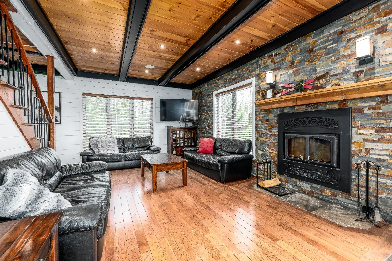 ✓ OwnerMaison EdenPetite-Rivière-Saint-François
 Between River and MountainsBaie-Saint-Paul
 Club Nautique de CharlevoixBaie-Saint-Paul
 KatabatikBaie-Saint-Paul
 Le Genévrier / FatbikeBaie-Saint-Paul
 Le Genévrier / Mountain BikingBaie-Saint-Paul
Owner-listed places
Discover more in Charlevoix
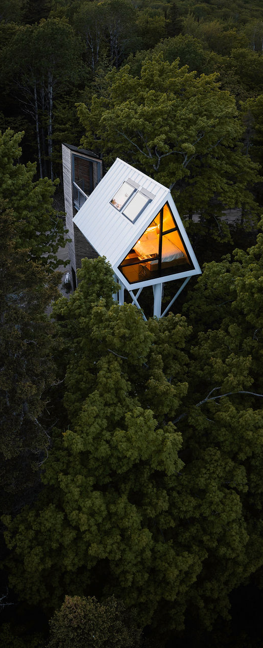
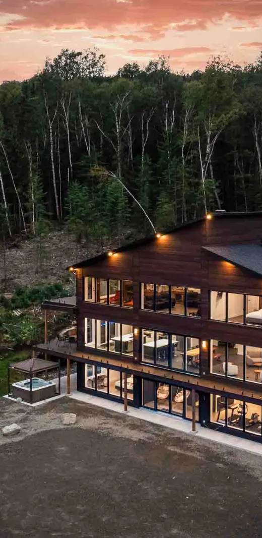
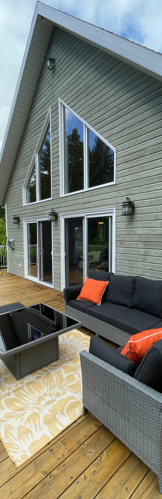
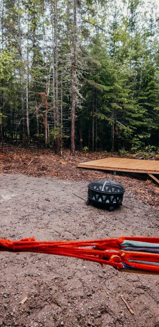
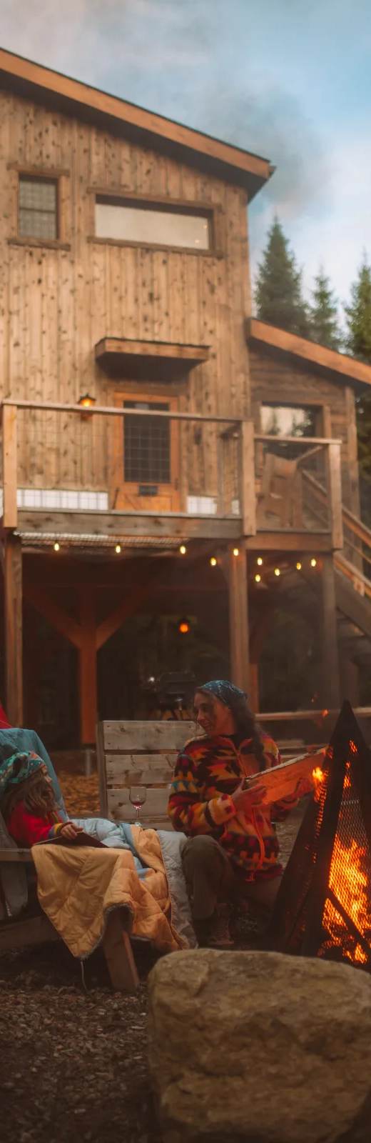
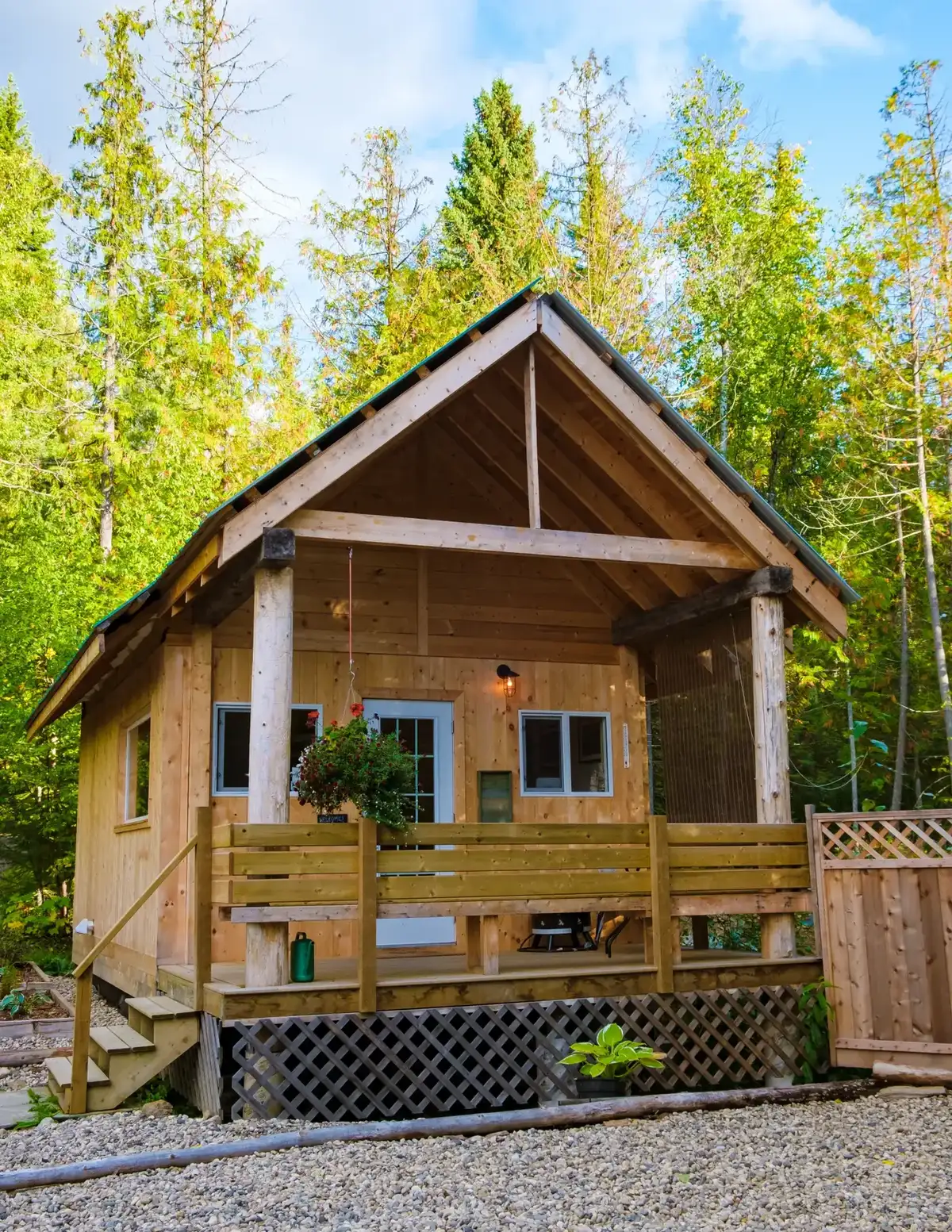 Unofficial photoUnofficial photo
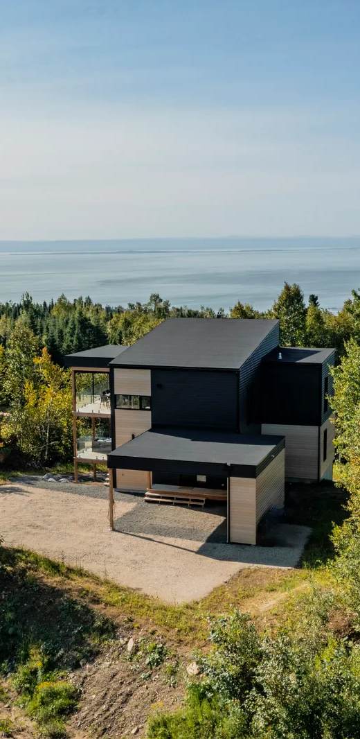
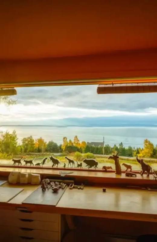
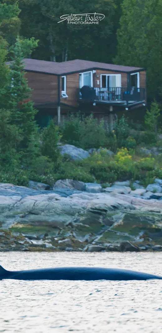
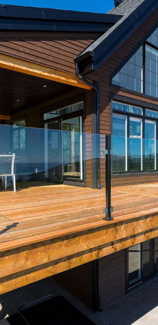
Cycling nearby
Maps, elevation and free GPX files for the bike paths in Charlevoix on CycloQuébec.
Gear ideas for your stay
Our picks to enjoy the water — real Amazon photos and prices.

Hiking shoes

Hiking backpack

Trekking poles
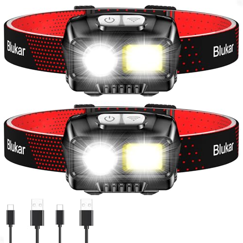
Headlamp

Water bottle / bladder
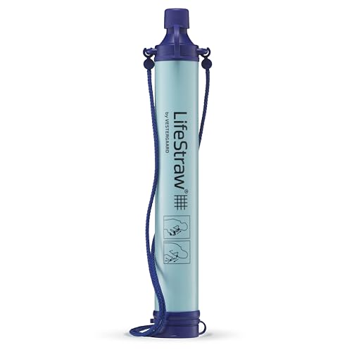
Water filter

Rain shell

First-aid kit
Amazon affiliate links — at no extra cost to you. Price at time of display.
See the full shop →📸 Been to this spot? Tell us about it and share your photos with the community.
Want us to visit and write about your place?