🛶 Montréal · Montréal
The Blue Route - Fluvial Section - From the Verdun Natatorium to Pointe-Nord of Île-des-Sœurs
🚣 Water🥾 Hiking
— Kayak · Canoe · Paddleboard
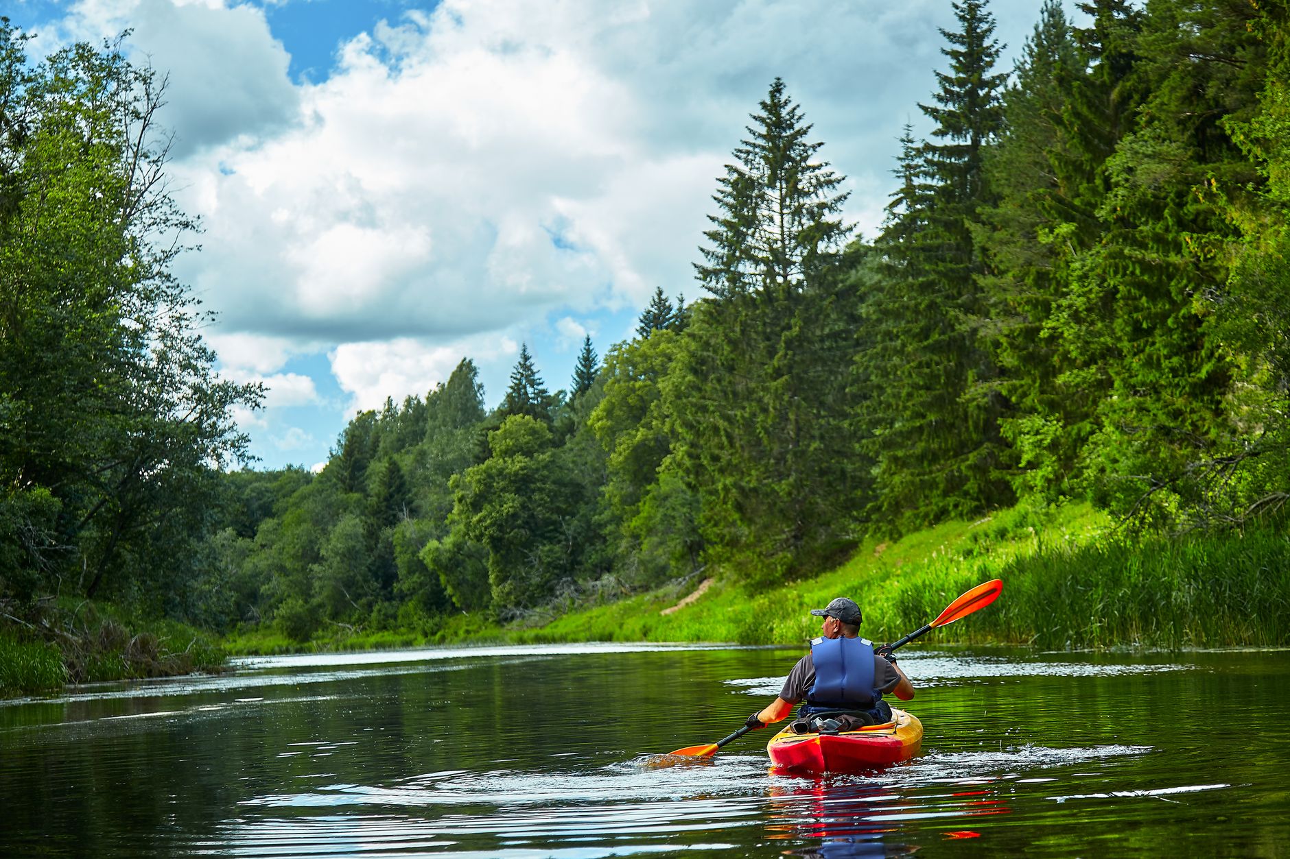
This section of the blue route offers a beautiful view of the St. Lawrence River and the surrounding islands. It's an ideal route for those looking to combine paddling with an urban experience while being surrounded by nature. Paddlers can expect to encounter other water activity enthusiasts.
Information
Characteristics
Type
River
Recommended level
Intermediate
Avg. depth
10 m
Length
5 km
Elevation
15 m
Water quality
Excellent
Avg. temperature
22 °C
Prevailing winds
Southwest
Parking
Map
7-day forecast
Put-ins
No put-ins listed yet.
Routes
No routes listed yet.