🛶 Capitale-Nationale · Sainte-Anne-de-Beaupré
The Blue Route - Sainte-Anne River - Fer à Cheval
🚣 Water🥾 Hiking
— Kayak · Canoe · Paddleboard
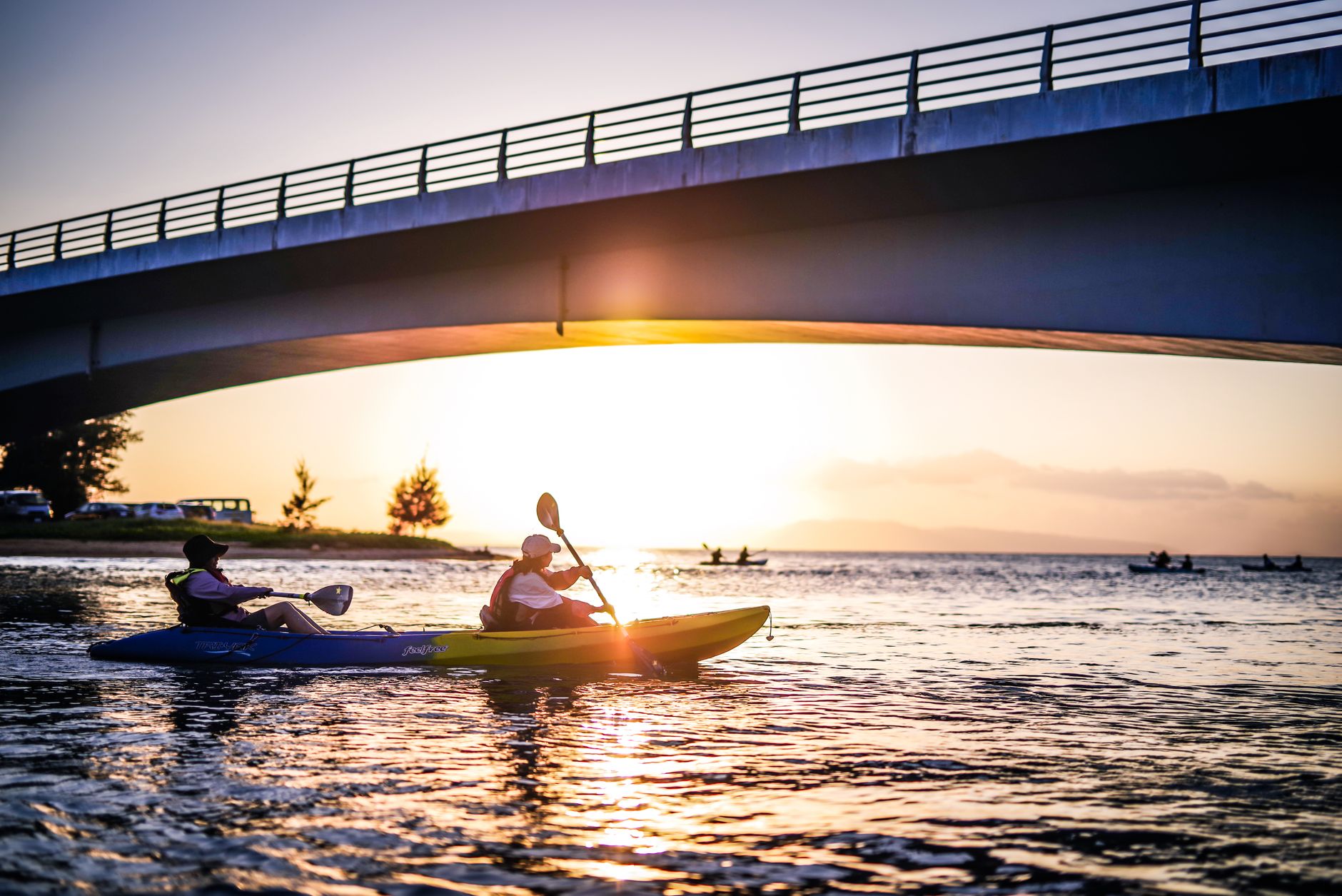
The Sainte-Anne River features enchanting landscapes with its cliffs and surrounding forests. It's an ideal route for intermediate paddlers looking to explore moderate rapids and enjoy the natural beauty of the area.
Information
Characteristics
Type
River
Recommended level
Intermediate
Avg. depth
3 m
Length
15 km
Elevation
200 m
Water quality
Excellent
Avg. temperature
18 °C
Prevailing winds
Northwest
Parking
Map
7-day forecast
Put-ins
No put-ins listed yet.
Routes
No routes listed yet.