🛶 Montérégie · Saint-Marc-sur-Richelieu
The Blue Route - Richelieu River - Vary Wharf at the Municipal Wharf of Saint-Marc-sur-Richelieu
🚣 Water🥾 Hiking
— Kayak · Canoe · Paddleboard
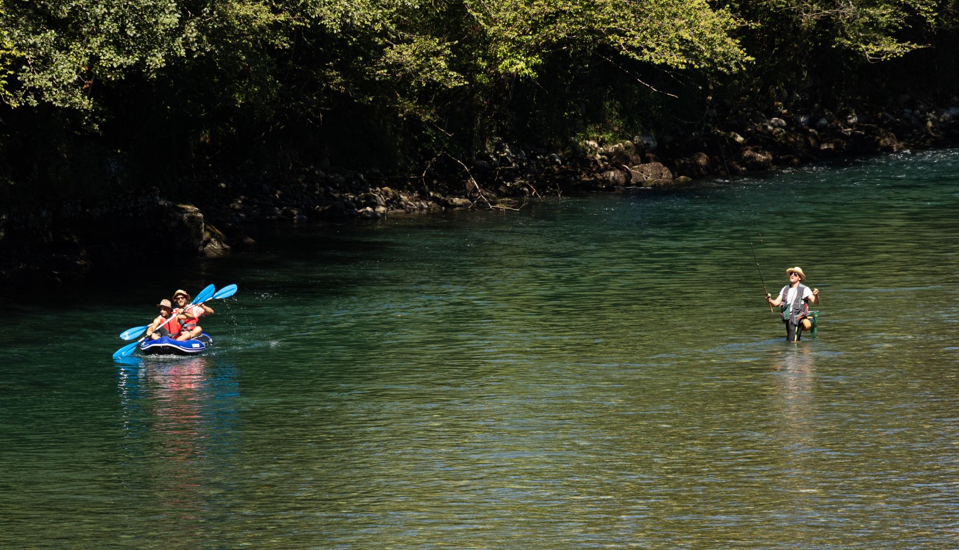
The Richelieu River provides a peaceful and picturesque setting, ideal for paddling enthusiasts. The surrounding landscapes are varied, featuring wooded banks and open fields, making it a perfect spot for a kayak, canoe, or SUP outing.
Information
Characteristics
Type
River
Recommended level
Intermediate
Avg. depth
3 m
Length
25 km
Elevation
30 m
Water quality
Good
Avg. temperature
20 °C
Prevailing winds
Southwest
ParkingToilets
Map
7-day forecast
Put-ins
No put-ins listed yet.
Routes
No routes listed yet.